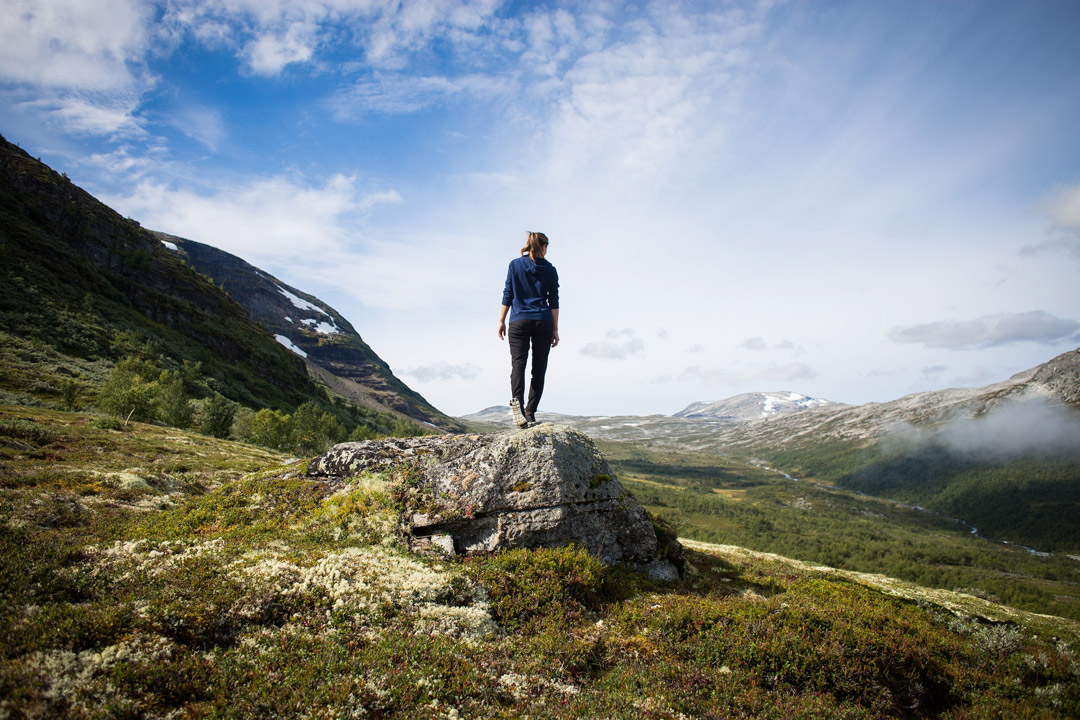
Custom Itinerary
Sarah’s 40th Birthday Adventure
The hotels listed here are only a sample of options because I can’t guarantee their availability. The flights to South America from Houston get in around 11pm on day one and depart around 1am on the final day, so you might be able to justify adding an extra day.
Flight: 6.5hr from Houston to Lima, 2hr from Lima to Puerto Maldonado (Amazon)
Weather: Amazon 70-88; Cusco 42-68; April is the best month.
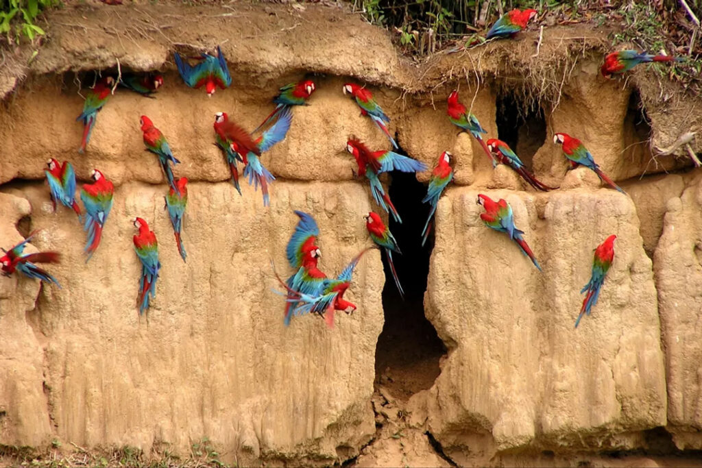
You would be hiking around three miles per day through the rainforest, seeing hundreds of macaws, and taking river boat rides.
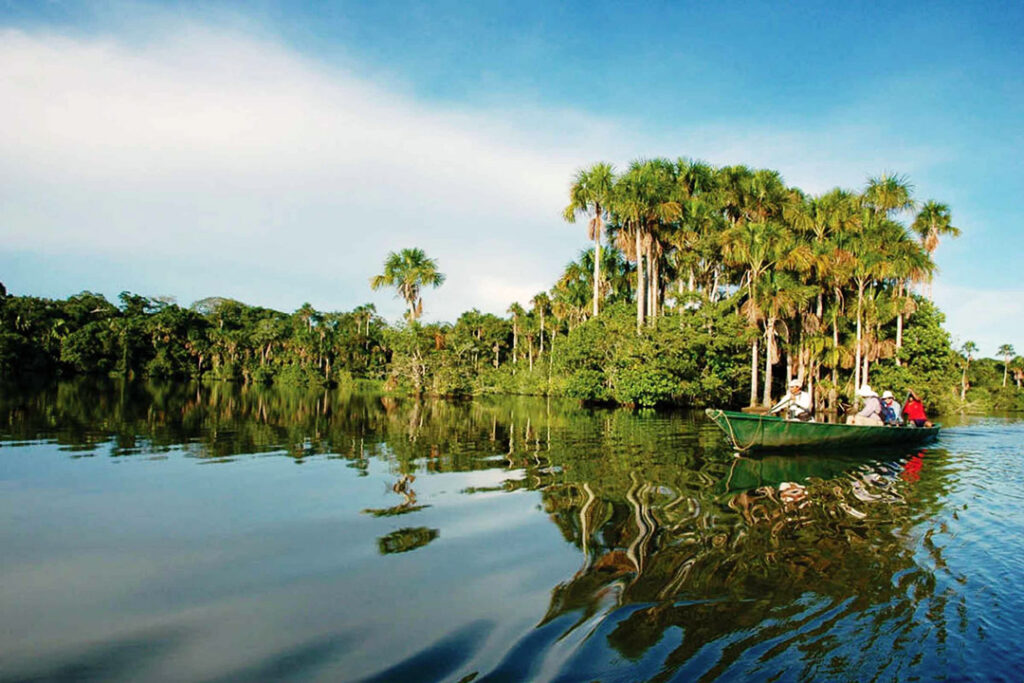
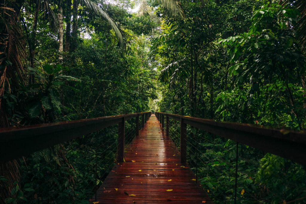
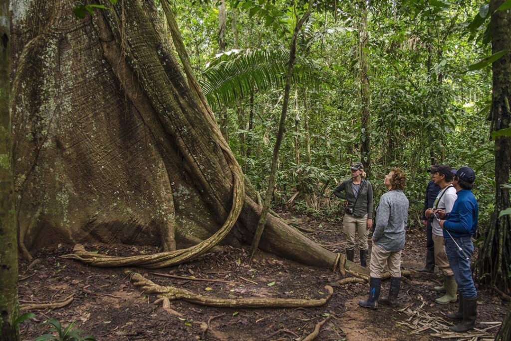
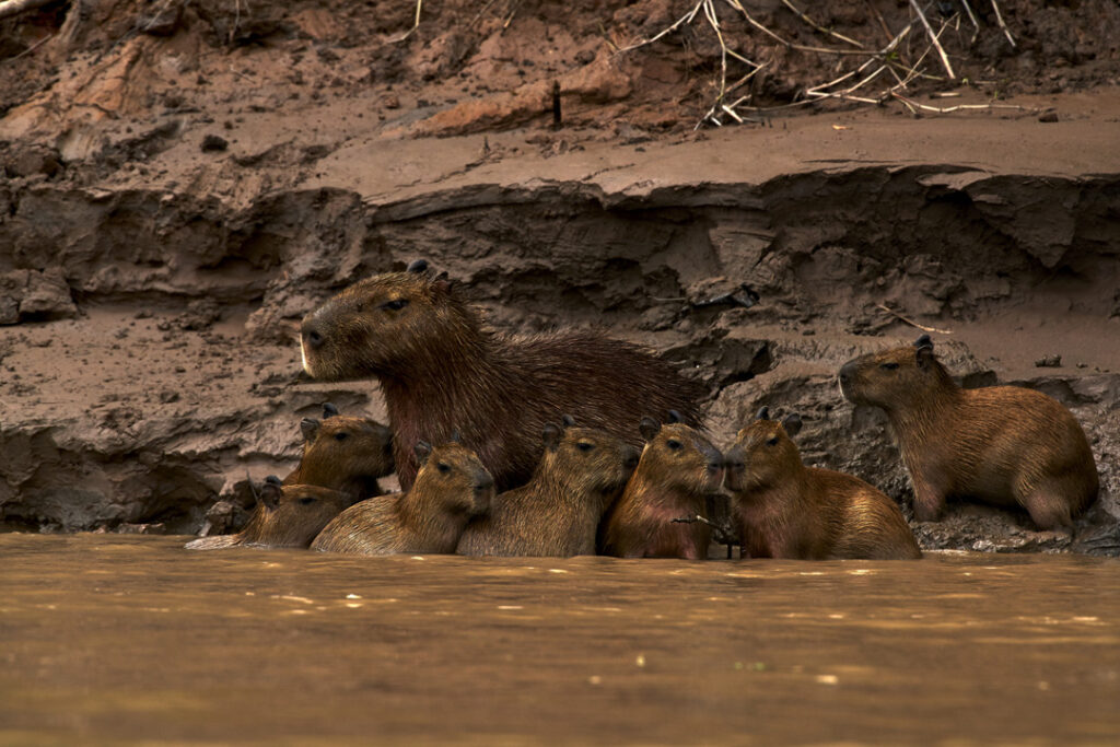
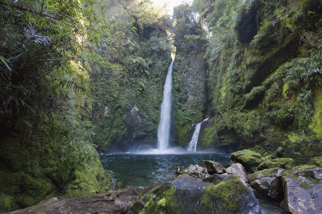
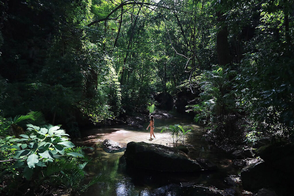
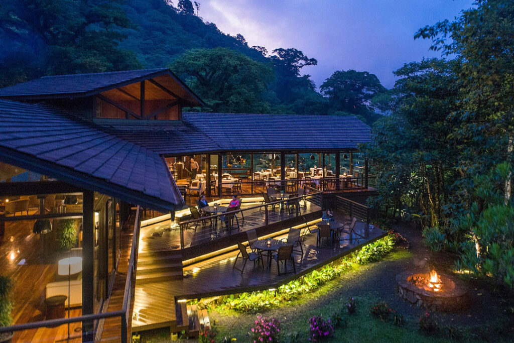
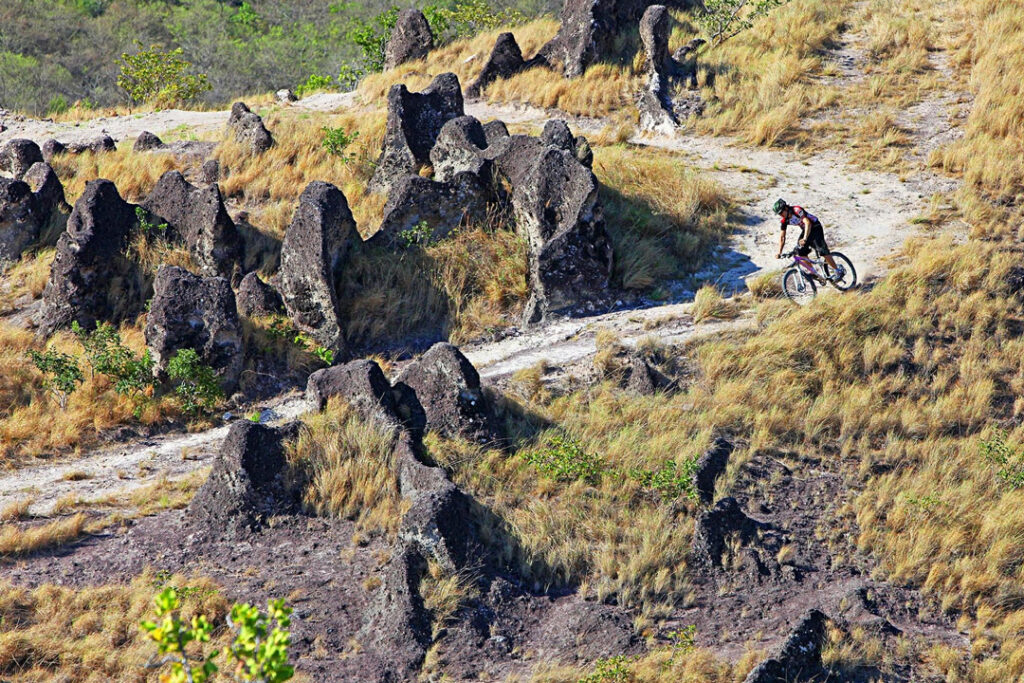
I think Peru could be a great option, but after our discussion, I think the rainforests would be more to your liking than the Inca trail because Machu Picchu can be touristy. The Tambopata Research Center is my favorite property in the southern Amazon region because the south is less crowded, and this is the only place to stay inside the Tambopata Reserve. There are multiple 3-hour walks through the rainforest as well as boat rides. You will see lots of macaws, monkeys, and capybaras. Spend the last day dining out in Lima, one of the best food scenes in South America. You can read a little more about the research center in the first part of my Ultimate Peru itinerary.
Draft Itinerary
Map of Tambopata Research Center
Flight: 5.5hr from Houston to Quito; No domestic flights needed.
Weather: Quito 42-65; April is better than March, though there will still be tropical afternoon showers.
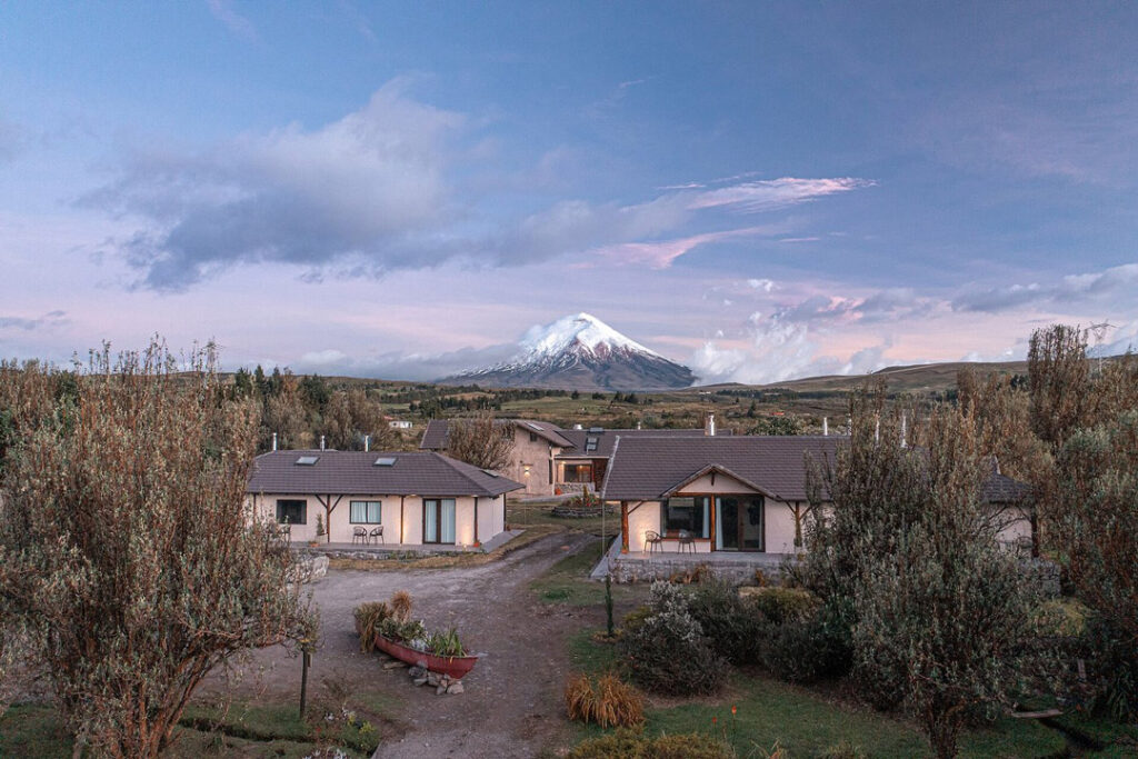
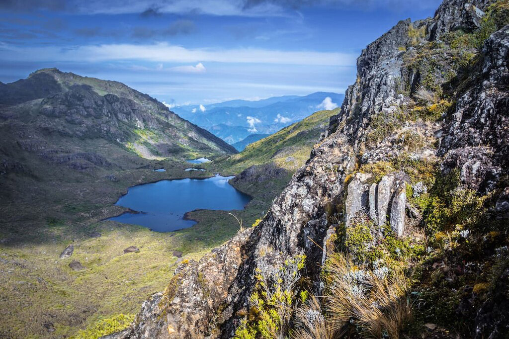
Cotopaxi National Park is a gorgeous highland area that can look similar to Scotland with llamas… It’s central feature is the massive Cotopaxi volcano.
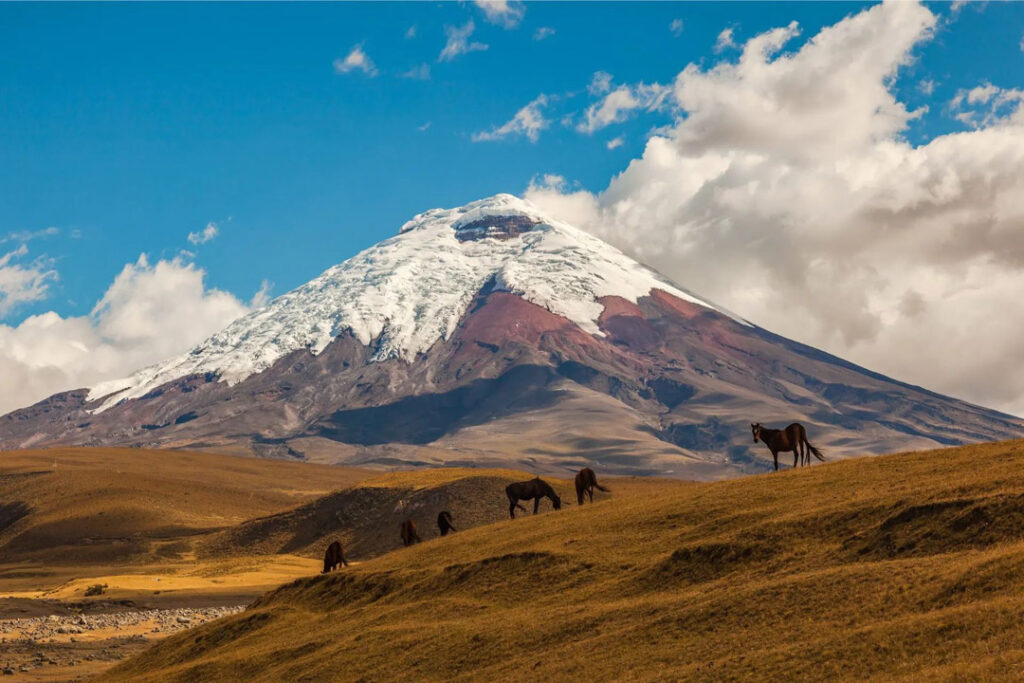
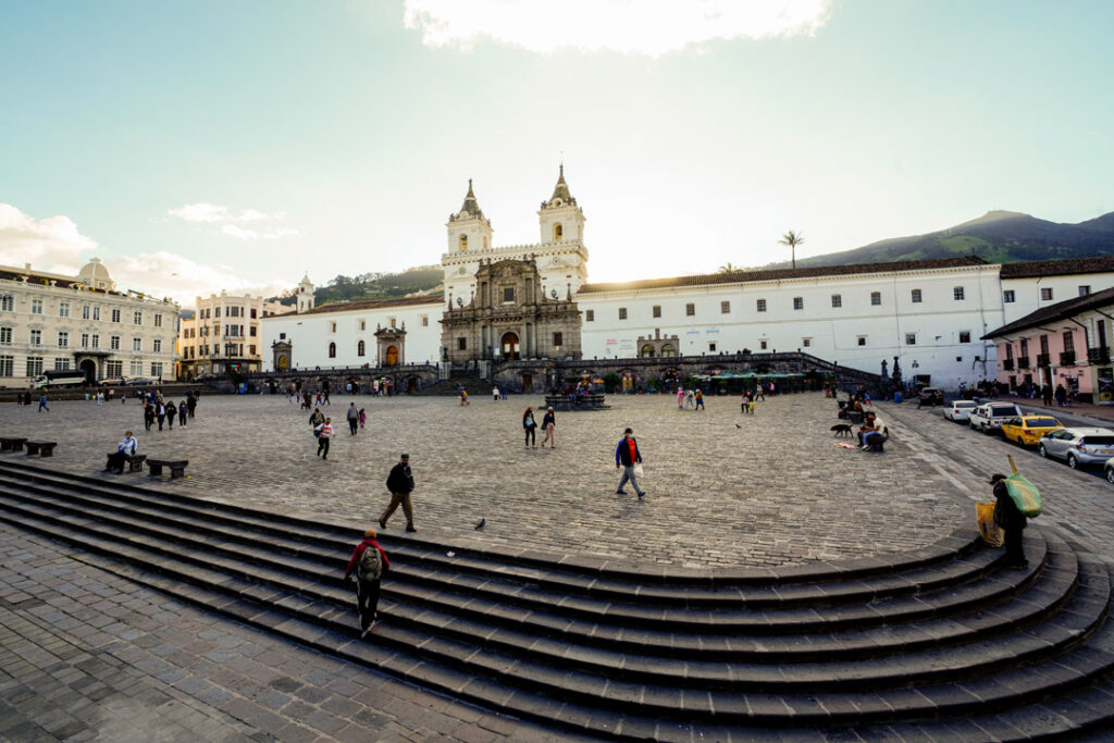
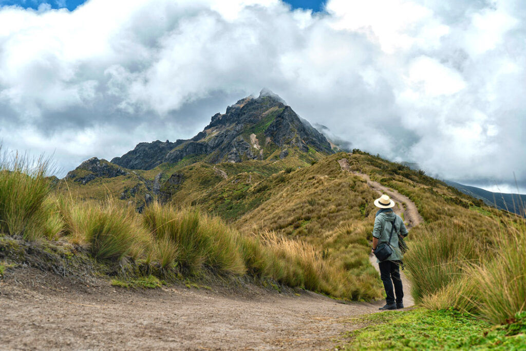
Ecuador is the best option if you want to do some Andean trekking because there are fewer crowds than in Peru. You would need to start your trip in Quito for a day or two to acclimate for hiking (9,000′). The colonial city is a UNESCO World Heritage site that is great for walking around on your first day. Cotopaxi National Park is a gorgeous highland area that can look similar to Scotland with llamas that is a little over 1.5 hours from Quito. Its central feature is the massive Cotopaxi volcano. You can only climb to the snow line right now because the volcano has been more active recently. One cool thing about this area is you can trek from and between cozy mountain lodges like Chiclabamba. You could spend the last night somewhere fancy, like Cotopaxi Sanctuary Lodge to splurge.
Draft Itinerary
Map of Cotopaxi
Flight: 9.5hr from Houston to Santiago, 1hr45min from Santiago to Puerto Montt, 1hr from Puerto Montt to Chaiten near Pumalin National Park
Weather: Pumalin 54-61; March is the best month.
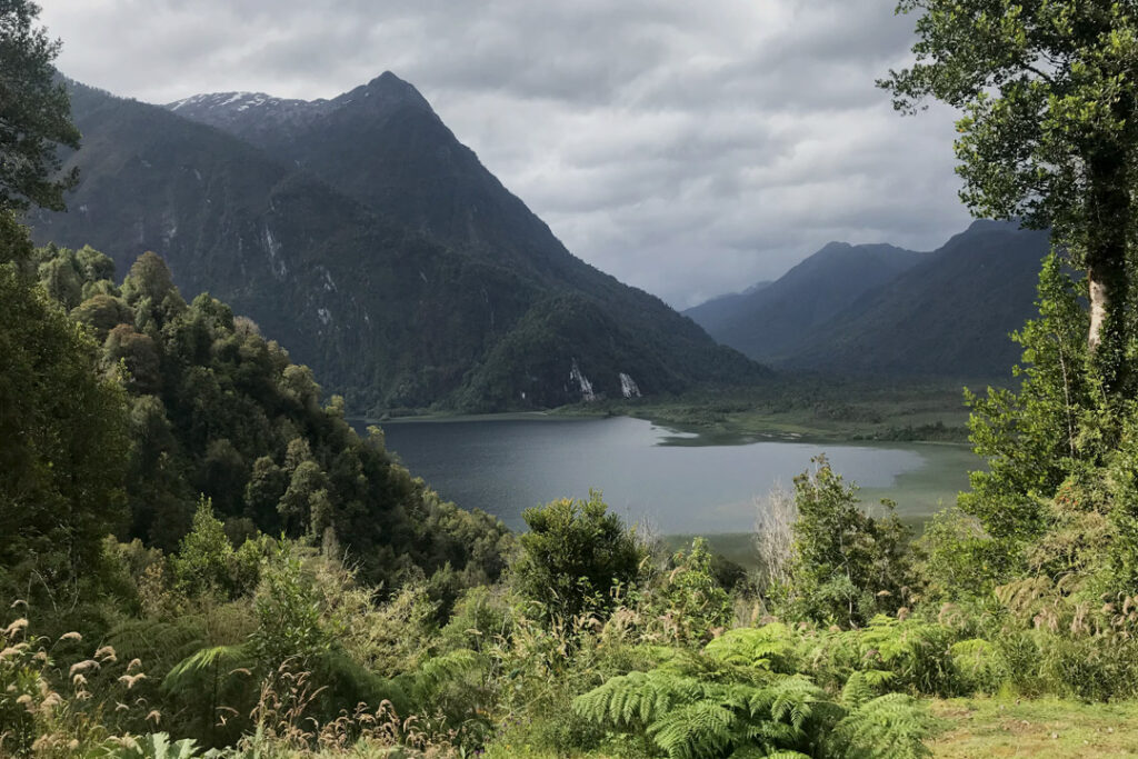
Chilean Patagonia is remote, wild, and beautiful which checks a lot of boxes for your trip. However, it would be stretching the travel time limit.
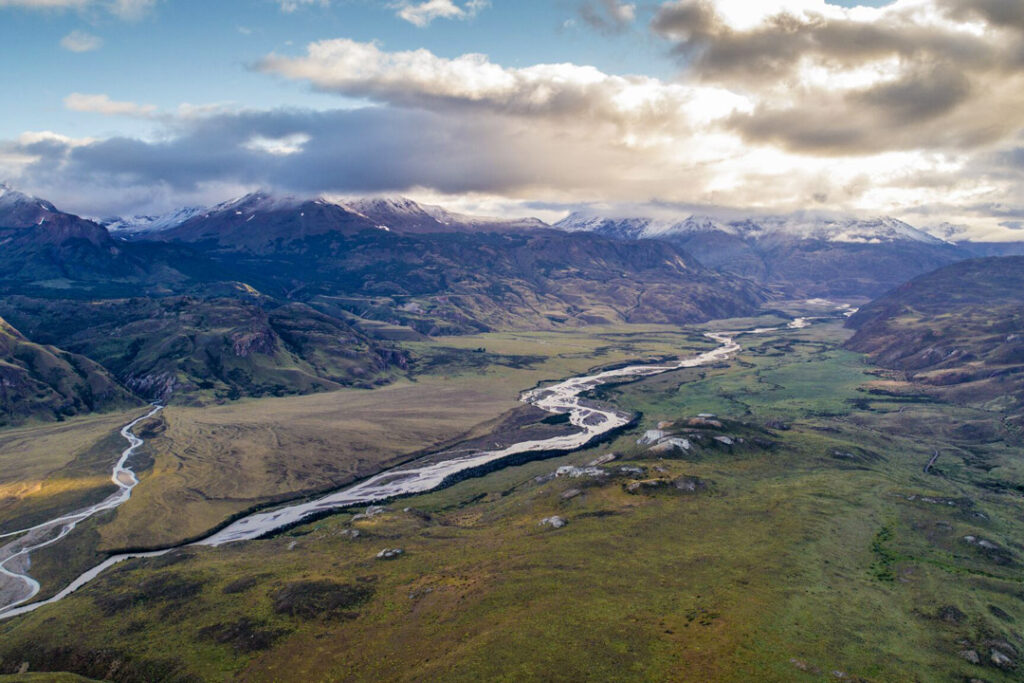
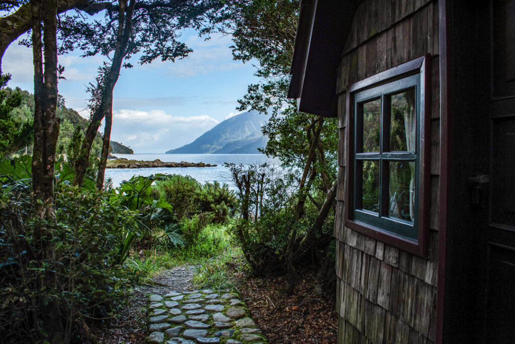
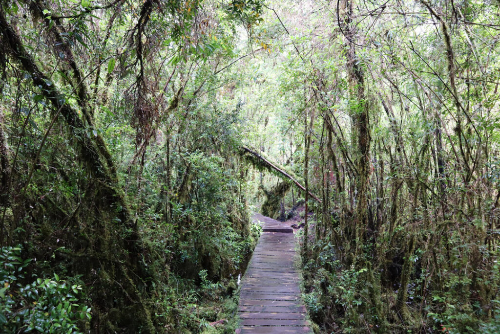
Chilean Patagonia is remote, wild, and beautiful, which checks a lot of boxes for your trip. However, it would be stretching the travel time limit. I would want to add a day or two if you choose this option. The weather is great in March, and there is spectacular hiking in Pumalin Douglas Tompkins National Park. It’s a relatively new park, so there are few tourists and less infrastructure compared to the others. Lodge Caleta Gonzalo is right next to the park, and you could book 2-3 cabins. If you have time and budget, it would be amazing to end on nearby Chiloe Island at a luxury hotel like Tierra Chiloe.
Draft Itinerary
Map of Pumalin National Park
Flight: 3.5hr from Houston to San Jose
Weather: Monteverde 64-82; March and April are good.
I think you would like Costa Rica away from the resorty areas and it’s an easy place to get to for a group.
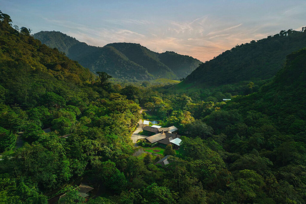
I think you would like Costa Rica away from the resort areas around Tamarindo, and now that you can fly direct from Austin, it’s closer than West Texas! There are a couple of ways to do a trip here, depending if you want to rent a house. I would include time at Rio Perdido, an adventure resort outside of Libera with a hot springs river and lots of hiking/mountain biking trails. Beyond that, you have a couple of options:
Climb up Cerro Chirripo (12,536′), the highest mountain in the country. It’s one day up and one down, with a stay at a hostel 3/4 of the way up the slope. You summit the second morning before a hike down, and could end your trip in the Monteverde Cloud Forest Reserve just north of San Jose. I really like El Silencio Lodge. It’s pretty luxurious ($750/nt), but it would be a relaxing finish to a big hike. There also are a lot of short hikes on the property. Alternatively, you could spend half of the trip at a rental house in Nosara, a hippy beach town, where you can cook, surf, golf cart around town, and hike.
Draft Itinerary A
Draft Itinerary B
Costa Rica Map
Get monthly travel news, destination guides, and seasonal offers delivered to your inbox.